A flight disappears
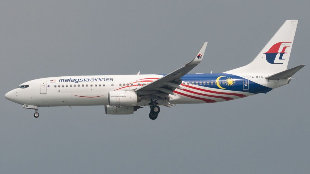
In the early hours of March 8, 2014, Malaysia Airlines Flight 370 left Kuala Lumpur for Beijing with 239 people aboard. The Boeing 777 was expected to make a routine overnight journey. Less than an hour after takeoff, its transponder stopped transmitting, and air traffic controllers lost contact with the aircraft.
Military radar later tracked a plane believed to be MH370 turning back across the Malay Peninsula and heading toward the Andaman Sea. After that, the aircraft disappeared from conventional radar coverage. No distress call or confirmed explanation for the change in course has emerged.
Investigators faced an unusual problem: the flight’s disappearance was not recorded by a continuous chain of radar data, and the aircraft’s final location was unknown. The search would depend heavily on indirect evidence, including automated satellite communications that were never designed to function as a tracking system.
What the satellite signals could—and could not—show
Although the aircraft no longer communicated with air traffic control, its satellite communication system continued to exchange brief, automated signals with a ground station. These “handshakes” established that the aircraft’s systems were still operating at intervals. They did not provide GPS coordinates or a precise route.
Analysts used the timing of the signals and measurements related to the satellite connection to estimate possible distances between the aircraft and the satellite. Those calculations produced broad arcs rather than a direct location. Investigators then combined the arcs with assumptions about the aircraft’s speed, fuel endurance, and possible route.
The analysis pointed toward a remote area of the southern Indian Ocean. It could narrow the search region, but it could not identify the exact point where the aircraft entered the sea. Small uncertainties in timing, flight behavior, or the aircraft’s movements translated into large differences in possible locations across thousands of kilometers of ocean.
A vast search, with no main wreckage
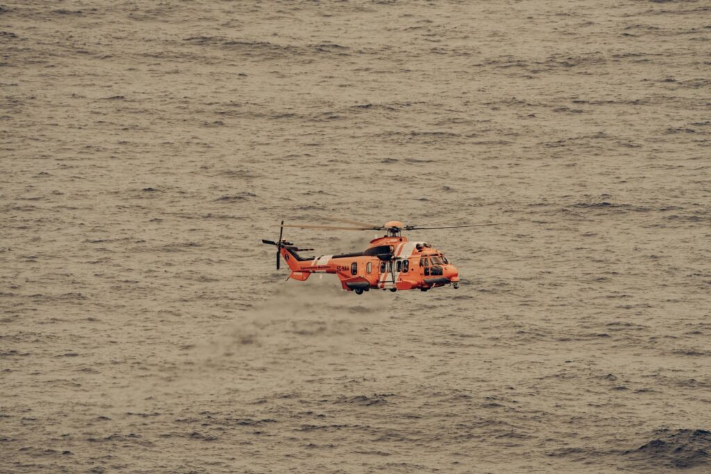
Search teams surveyed large areas of the southern Indian Ocean, first using aircraft to look for floating debris and later using sonar-equipped vessels to map the seabed. The underwater search covered a substantial region, but it did not locate the main wreckage or the flight recorders.
In 2018, the private company Ocean Infinity conducted another seabed search under an agreement with Malaysia. It also ended without finding the aircraft. The scale and depth of the search area made the task exceptionally difficult: much of the ocean floor is remote, rugged, and thousands of meters below the surface.
The absence of the main wreckage means investigators cannot examine the aircraft’s final condition directly. Flight data and cockpit voice recorders, which might clarify the last minutes, remain unrecovered. Without them, competing explanations cannot be tested against the most important physical evidence.
Debris provides clues, not a full answer
In July 2015, a piece of aircraft wing debris known as a flaperon was found on Réunion Island in the western Indian Ocean. Investigators identified it as coming from MH370. Other pieces of debris later found on shores around the western Indian Ocean were also assessed as likely or confirmed to be from the aircraft.
These finds supported the conclusion that the aircraft ended in the ocean, and their distribution helped researchers study how currents could have carried wreckage. But floating debris can travel long distances, and its path depends on currents, winds, and the time it spent at sea. It does not reveal the precise location of the main wreckage or explain why the aircraft went off course.
What remains unresolved
Malaysia’s 2018 investigation report documented the known evidence and examined the flight’s systems, communications, and operational circumstances. It did not establish a definitive cause. Investigators noted that the aircraft’s course had changed, but the available evidence did not establish who or what was responsible.
That distinction matters. Satellite data can support a likely broad route without identifying intent; recovered debris can confirm the loss of the aircraft without explaining its final hours. The case remains unresolved not because there is no evidence, but because the evidence is incomplete and indirect.
Finding the main wreckage would not automatically settle every question, but it could provide the flight recorders and physical clues needed to test current explanations. Until then, MH370 is a case defined by a striking gap: a scheduled flight vanished from tracking, while the technology that preserved fragments of its journey could not pinpoint where it ended.